


")
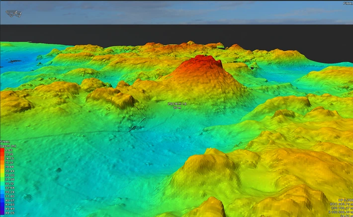
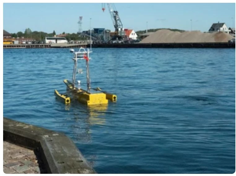
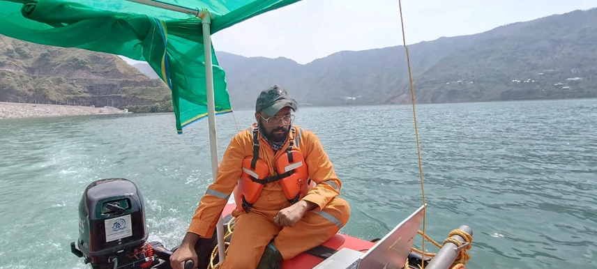
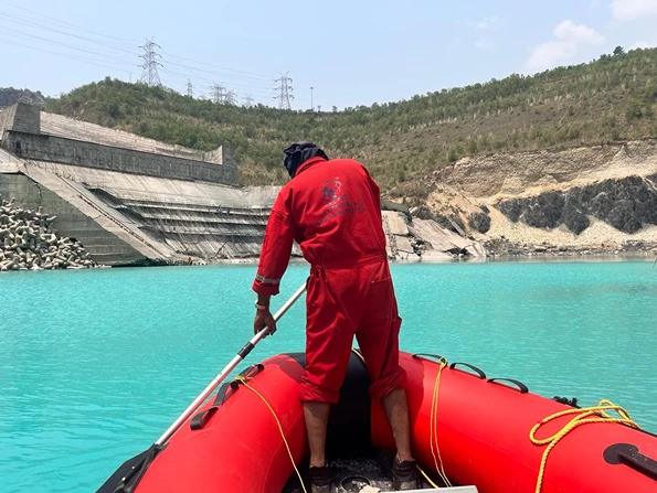
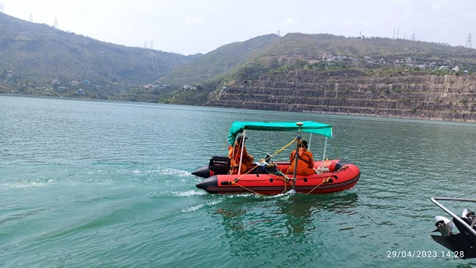
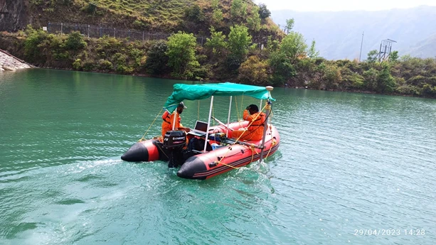
Accurate and timely data forms the cornerstone of successful projects, ensuring a seamless initiation and continuous progress. Geoservices Maritime Private Limited is dedicated to delivering an extensive suite of hydrographic surveying services tailored for governmental agencies, public institutions, and private enterprises. Our track record includes providing hydrographic surveys that have played a pivotal role in supporting various projects, ranging from data gathering for desktop studies, waterfront development to inland waterways management, dam surveys, pre & post-dredging assessments for ports, seabed stability evaluations for pipelay, mineral exploration, drilling, land geophysics, cable lay operations, water-dependent engineering, environmental remediation, metocean studies, and a myriad of other applications.